 Data is powerful. But it’s most effective when it’s usable — accurate, current, well-organized, and easily accessible. Using GIS to digitally manage your assets creates efficient processes, leading to cost-savings in the long run. When we’re better informed, we make better decisions.
The GIS team at RETTEW helps our clients design, build, implement, and manage GIS data, tools, processes, and web-based mapping applications. We’re passionate about our best-in-the-business GIS tools, which integrate many layers of information in an interactive, easy-to-use system. We’re committed to helping you increase productivity and quality through technology. For instance, going mobile: getting mapping and system information out of the office and shop and into the hands of the field crew whenever and wherever they need it, whether on a smartphone, tablet, or laptop.
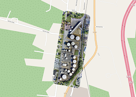
Scattered information and poor documentation leads to inefficiencies, costly mistakes, and even safety risks. Readily accessible data can be a game changer for business and government operations. GIS will help your employees do their jobs more efficiently and safely, and, in turn, provide better service for your customers. Visual documentation of assets — such as water, sewer, storm sewer, and roadway systems, as well as oil and gas operations — is incredibly useful. Likewise, supporting data is important — such as when an asset was installed, last inspected, manufacturer information, and when it should receive maintenance. GIS brings these together. Efficiencies in processes not only save time, but also money.
RETTEW has been a great partner in providing the technical expertise for GIS while allowing us to be involved in data collection and preparation.
Mapping the future.
Our GIS services also help companies and agencies plan for growth and transition. Long-time employees become so knowledgeable—years’ worth of information stored in their heads. Capturing that data and bringing it online honors these workers’ loyalty and legacy, and it also protects an organization from losing crucial material upon retirement.
At RETTEW we listen to our client’s challenges and needs, and then develop a sustainable GIS solution that’s within budget.
![]() An Esri Business Partner, RETTEW maintains a productive relationship with the world’s leading GIS software vendor.
An Esri Business Partner, RETTEW maintains a productive relationship with the world’s leading GIS software vendor.
GIS Specialties:
- ArcGIS Online Application Setup and Configuration
- Database Design Creation and Management
- Facilities Management
- Geometric Networking
- GPS Data Collection & Management
- Hydraulic Capacity and Water Quality Monitoring and Modeling
- Mapping for Municipal Assets
- Mapping Support for Subsurface Utility Engineering (SUE) and One Call Efforts
- Mobile Data Collection Setup and Support
- Smart Data Forms (for Mobile Devices)
- Pipeline Routing
- Risk Management
- Spill Prevention, Control, and Countermeasure (SPCC) Planning and Mapping
- Stormwater MS4 Tracking and Reporting
- System Maintenance Management
- Viewshed Mapping and Analytics
- Website Services