We are excited to share our expertise and demonstrate how RETTEW’s services can help you minimize project delays and change orders and reduce liability. We’ll also highlight some of our people so you can be sure you are getting the best in the business when you work with RETTEW.
Well, Well, Well
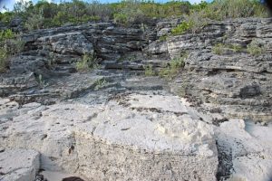 In some geologic settings, water moves primarily along underground bedrock fractures. Where these fractures intersect, water can be abundant. The key to siting a new bedrock well is to find these fractures and (literally) tap into them!
Two geophysical methods, electrical resistivity imaging (ERI) and very-low-frequency electromagnetics (VLF-EM) help map the location and orientation of fractures. In large undeveloped areas (greater than 8 acres), VLF-EM is often preferred because it can cover much territory cost-effectively. In smaller or developed areas, ERI can help find the best locations for new wells. RETTEW has experts in all areas of geophysics, and we are here to help you find that well!
Who Needs Water?
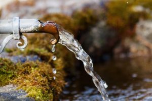 A Pennsylvania Township needed a new well to support its growing population. The Township had access to approximately 160 acres of agricultural land but did not know where to site the well to maximize production. Because the survey area was large and undeveloped, RETTEW recommended a very-low-frequency electromagnetic (VLF-EM) survey to identify bedrock fractures (hopefully water-bearing) crossing the site. VLF-EM surveys use radio waves emanating from a worldwide network of (generally military) communications antennae that travel through the upper 300 feet of the earth. When the radio waves encounter a favorably oriented and electrically conductive structure, like a water-filled fracture, a detectable secondary EM field is produced.
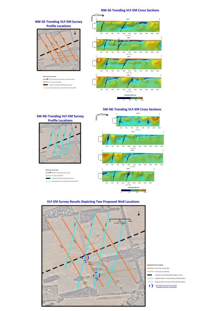
Over the course of two days, RETTEW collected VLF-EM data along eight profiles spanning 160 acres, with four oriented NW-SE (Figure 1) and four oriented SW-NE (Figure 2). The signal sources were VLF transmitters in Maine, Washington, and North Dakota. The data were processed to produce VLF-EM cross sections for each profile, with low-resistivity/high-conductivity features (e.g., water-bearing faults and fractures) displayed as dark blue to green. The results showed several high- and low-angle conductive features crossing the site (for locating a water well, high-angle features are desirable), and two locations where these features intersect at the ground surface (Figure 3, Locations A and B). Because the dips of these features can be estimated, the proposed well will be drilled where these features intersect at the desired well depth.
Meet Olek Karod
Geophysicist
 Olek likes to stay on the move! His job as a geophysicist at RETTEW is constantly changing, offering him variety in his work environment. One day he might be at a gas station, the next at a power plant, and the next at a military base. It certainly keeps things interesting and allows him to stay engaged and eager to learn and apply his knowledge to new experiences almost every day.
Also interesting is the variety of people you encounter at job sites. Once, Olek was greeted at a site by a person barking at him – not something you’d expect to run into but, like we said, it keeps things interesting!
Speaking of running, did we mention Olek is an avid runner? He is heavily active in his local running community as treasurer of the Lancaster Road Runners Club. So, when he’s not running from barking people at a job site, he’s running just for fun. We’re happy to have Olek as part of the RETTEW family and know he’ll have a long “run” with the rest of our Geophysics/Subsurface Utility Engineering team!