 In conjunction with National Surveyors Week, March 16 through 22, a Snyder County resident is volunteering with the Pennsylvania Society of Land Surveyors (PSLS) to collect geographical data for use in a national database.
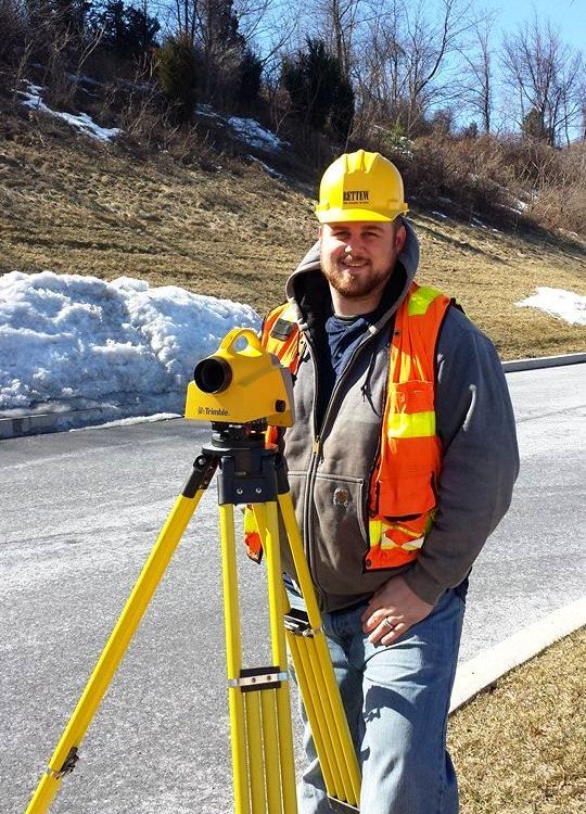
Andrew Benner, of McClure Borough, a designer with the engineering firm RETTEW, recently took his survey equipment out to locations throughout the county to measure a “monument,” or specific geographic data point. Benner has five years of experience in surveying and regularly provides such expertise to the energy and development market sectors. The effort required close to five hours and included setting up surveying equipment, measuring the exact height and shape of the earth at that monument, and photographing the evidence. Benner volunteered as part of the statewide and national effort because he enjoys the detail work of being a surveyor, and wants to play a role in the history of accurate data collection.
“The ever-changing sites and surroundings, and the variety of people you interact with, is what makes surveying an enjoyable profession,” Benner said.
Benner submitted the information he gathered to PSLS. The statewide organization is collecting surveying data on more than 300 monuments throughout Pennsylvania. The effort, entitled “Reaching New Heights,” seeks to improve the existing data on the earth’s surface used in any land development, agricultural or natural resources endeavors. The data is collectively known as the geoid, currently existing in a database referred to as the North American Vertical Datum of 1988. However, previous land survey information was collected without today’s advanced technology and increased precision, and is thus not always accurate, sometimes by a wide margin.
The National Geodetic Survey is proposing to redefine the vertical datum in the next decade. New geoid information, once collected and finalized across the U.S., will measurably improve accuracy on all projects involving development of land or resources. The new system will be named Gravity for the Redefinition of the American Vertical Datum, known as GRAV-D, and will be unveiled in 2022.
The initiative, from a local to national level, impacts businesses and residents in many ways. One of the regular uses of such data is in determining the limits and locations of flood zones, affecting insurance information, residential and commercial development, and natural resources protection. Surveying information and surveyors have long played a role in our country as towns, cities, and rural areas continue to develop, providing details such as boundary definition or environmental concern identification.
“It is great to think back into our country’s history and look at all the surveyors that have done great things, including one of our founders, George Washington,” Benner said.